File:Provinces of Veneto map.png
Jump to navigation
Jump to search


Size of this preview: 717 × 599 pixels. Other resolutions: 287 × 240 pixels | 574 × 480 pixels | 718 × 600 pixels | 1,000 × 836 pixels.
Original file (1,000 × 836 pixels, file size: 330 KB, MIME type: image/png)
The revision #19635 of the page named "File:Provinces of Veneto map.png" does not exist.
This is usually caused by following an outdated history link to a page that has been deleted. Details can be found in the deletion log.

|
File:Map of region of Veneto, Italy, with provinces-it.svg is a vector version of this file. It should be used in place of this PNG file when not inferior.
File:Provinces of Veneto map.png → File:Map of region of Veneto, Italy, with provinces-it.svg
For more information, see Help:SVG. |
 |
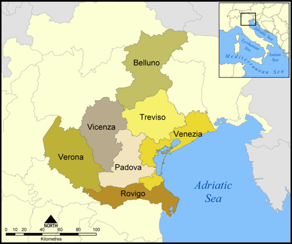
English: Provinces of the Italian region of Veneto
Deutsch: Provinzen der italienischen Region Veneto
Other versions: image:Veneto.png - more international version of this map without english text, internationalere Version dieser Karte ohne englischen Text · Veneto-eo.png (with esperanto text) File:Provinces of Veneto map-el.png Ελληνικά
Created by NormanEinstein, September 1, 2005.
I, the copyright holder of this work, hereby publish it under the following licenses:

|
Permission is granted to copy, distribute and/or modify this document under the terms of the GNU Free Documentation License, Version 1.2 or any later version published by the Free Software Foundation; with no Invariant Sections, no Front-Cover Texts, and no Back-Cover Texts. A copy of the license is included in the section entitled GNU Free Documentation License. |
| This file is licensed under the Creative Commons Attribution-Share Alike 3.0 Unported license. | ||
| ||
| This licensing tag was added to this file as part of the GFDL licensing update. |
You may select the license of your choice.
File history
Click on a date/time to view the file as it appeared at that time.
| Date/Time | Thumbnail | Dimensions | User | Comment | |
|---|---|---|---|---|---|
| current | 11:38, 1 September 2005 | | 1,000 × 836 (330 KB) | NormanEinstein | This map shows the provinces of the Italian region of Veneto. Created by NormanEinstein, September 1, 2005. {{GFDL-self}} Category:Maps of Italy |
File usage
The following page uses this file: